

Visual SLAM Explained: Principles, Navigation & Vision SLAM Types
- Posted by TofSensor
What Is Visual SLAM and How Does It Work in Autonomous Navigation Systems?
In modern robotics navigation, autonomous driving, and intelligent warehousing systems, Visual SLAM (Simultaneous Localization and Mapping) has become one of the core enabling technologies. With the rapid development of artificial intelligence and computer vision, more and more companies are focusing on slam navigation and vision slam applications in autonomous systems.
This article provides a systematic explanation of what is vslam, its working principles, system architecture, and real-world applications in visual navigation.
1. What Is Visual SLAM (What is VSLAM)?
Visual SLAM (visual simultaneous localization and mapping) is an advanced autonomous navigation technology based on camera visual information. It mimics how humans “see the environment” to enable machines to perform real-time localization and mapping in completely unknown or partially known environments.
Unlike traditional GPS-based or pre-defined route navigation systems, Visual SLAM emphasizes environment understanding and autonomous decision-making, making it one of the core technologies in robotics intelligence.
Core Idea of Visual SLAM
Visual SLAM can be understood as a “see–move–remember” process:
In an unknown environment, the system continuously observes the world, builds a spatial map, and simultaneously estimates its precise position within that map.
This process includes two key tasks:
- Localization: Determining 'Where am I?'
- Mapping: Building 'What does my environment look like?'
These two processes run simultaneously, hence the term Simultaneous Localization and Mapping.
A More Intuitive Understanding
Visual SLAM can be seen as giving machines a “visual brain”:
- Camera = Eyes (perceiving environment)
- Algorithm system = Brain (processing and understanding)
- Map model = Memory (storing spatial structure)
As the robot moves, it continuously:
- Observes new environmental details
- Detects key features (corners, edges, textures)
- Matches them with past memory
- Updates its position
- Expands the environment map
This allows the machine to gradually 'understand the world' and act autonomously without human guidance.

Key Capabilities of Visual SLAM
Compared to traditional navigation methods, Visual SLAM provides stronger adaptability:
- Can start in unknown environments (no prior map needed)
- Does not rely on GPS signals (suitable for indoor and complex environments)
- Understands 3D spatial structures rather than 2D paths only
- Continuously learns and updates maps
- Supports real-time adaptation in dynamic environments
Core Functions of Visual SLAM
Visual SLAM primarily performs two tasks:
- Localization: Estimating the real-time position of the device
- Mapping: Constructing a 3D map of the surrounding environment
Therefore, it is widely used in robotics, drones, autonomous driving, and augmented reality systems.
2. Working Principle of Visual SLAM (Visual Navigation)
In visual navigation systems, cameras continuously capture environmental images, which are then processed using computer vision and geometric algorithms to achieve a closed-loop autonomous navigation system of 'see–compute–move.'
Unlike GPS or fixed-path navigation, Visual SLAM can operate reliably in unknown environments, complex indoor spaces, or signal-limited areas, while dynamically building usable maps.
Basic Workflow of Visual SLAM
The process of visual simultaneous localization and mapping typically includes the following steps:
-
Continuous image acquisition
Cameras (monocular, stereo, or RGB-D) continuously capture environmental frames. -
Feature extraction
The system detects representative visual features such as corners, edges, and textures. -
Feature matching and tracking
Correspondences between consecutive frames are established to estimate motion. -
Motion estimation
The system calculates the trajectory, including position and orientation changes in 3D space. -
Mapping
Environmental data is integrated to build local and global 2D/3D maps for navigation. -
Optimization
Loop closure and graph optimization correct accumulated errors and improve accuracy.
Core Mechanism of SLAM Navigation
This entire pipeline forms the core mechanism of slam navigation, enabling continuous learning of the environment.
In other words, the system does not build the map only once. Instead, it continuously:
- Updates environmental information
- Corrects position drift
- Optimizes navigation paths
- Adapts to dynamic changes
Thus, Visual SLAM is not just a localization tool but a continuously evolving spatial cognition system.
3. Main Types of Visual SLAM (Vision SLAM)
Depending on sensor types and depth acquisition methods, vision slam is mainly divided into three categories: monocular, stereo, and RGB-D. Each type differs in cost, accuracy, computation, and application scenarios.
1. Monocular Visual SLAM
- Uses a single camera
- Lowest cost and simplest hardware structure
- Relatively low computational requirements
Since depth cannot be directly measured, the system estimates distance based on camera motion (parallax changes).
Advantages:
- Low hardware cost
- Simple and easy to deploy
- Suitable for lightweight robots or experimental systems
Disadvantages:
- Depth estimation errors may exist
- Requires motion for initialization
- Sensitive to lighting and texture conditions
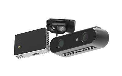
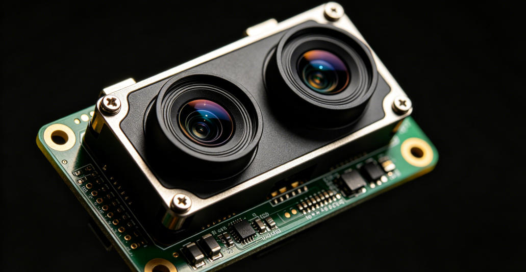
2. Stereo Visual SLAM
- Uses two fixed cameras to simulate human binocular vision
- Can directly compute depth via disparity
- Higher accuracy and stability
Stereo SLAM can directly obtain spatial depth information without relying on motion-based estimation.
Advantages:
- Direct depth computation
- High precision and stability
- Suitable for real-time navigation
Disadvantages:
- Higher hardware cost
- Requires precise calibration
- Higher computational complexity
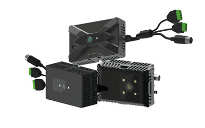
3. RGB-D SLAM (Depth Visual SLAM)
- Combines RGB camera with depth sensors (ToF or structured light)
- Directly obtains per-pixel depth information
- Active perception-based SLAM
RGB-D SLAM provides both color and depth data, making it particularly effective in indoor environments.
Advantages:
- Direct and accurate depth measurement
- Less dependent on motion
- Excellent performance indoors
Disadvantages:
- Higher cost
- Limited performance in strong sunlight or outdoor environments
- Limited sensing range
Summary Comparison
These three vision slam types can be summarized as:
- Monocular: low cost, depth estimated via motion
- Stereo: human-like perception, balanced cost and accuracy
- RGB-D: direct depth sensing, best for indoor precision tasks
Modern systems often integrate IMU, LiDAR, and other sensors to improve robustness for autonomous driving, robotics, and smart warehousing.
4. Core Modules of Visual SLAM
A modern visual simultaneous localization and mapping system typically includes:
1. Feature Extraction and Matching
Detects key points such as corners, lines, and textures.
2. Pose Estimation
Computes position and orientation in 3D space.
3. Loop Closure
Detects revisited locations to reduce accumulated drift.
4. Map Optimization
Improves overall map accuracy and consistency.
These modules form a complete VSLAM system.

5. Applications of SLAM Navigation
With technological maturity, slam navigation is widely used in:
1. Intelligent Robots
Service robots and cleaning robots for autonomous movement and obstacle avoidance.
2. Autonomous Driving
Vehicle localization in GPS-denied or complex environments.
3. Drone Navigation
Enables indoor flight and autonomous path planning.
4. Smart Warehousing Systems
Used in AGVs and AMRs for route planning and logistics automation.
6. Advantages and Challenges of Visual SLAM
Advantages
- Does not rely on GPS
- Low hardware cost (camera-based)
- Rich environmental perception
- Supports real-time mapping and navigation
Challenges
- Sensitive to lighting changes
- High computational complexity
- Vulnerable to dynamic environments
- Possible long-term drift errors
7. Future Trends of Visual SLAM
Future vision slam technology will evolve toward:
- Deep learning + SLAM integration
- Multi-sensor fusion (vision + LiDAR + IMU)
- High-precision real-time 3D mapping
- Edge computing optimization
- Stronger autonomous decision-making capabilities
8. Conclusion
Visual SLAM (what is vslam) is a foundational technology in modern intelligent navigation systems, driving rapid development in robotics, autonomous driving, and smart logistics.
By integrating slam navigation, visual navigation, and vision slam technologies, future intelligent systems will achieve stronger perception, localization, and environmental understanding, enabling truly autonomous and intelligent operation.
Synexens 3D Camera Of ToF Sensor Soild-State Lidar_CS20

After-sales Support:
Our professional technical team specializing in 3D camera ranging is ready to assist you at any time. Whether you encounter any issues with your TOF camera after purchase or need clarification on TOF technology, feel free to contact us anytime. We are committed to providing high-quality technical after-sales service and user experience, ensuring your peace of mind in both shopping and using our products