Combining ToF Technology with LiDAR Drones:Advancing Precision Mapping

What is a LiDAR drone?
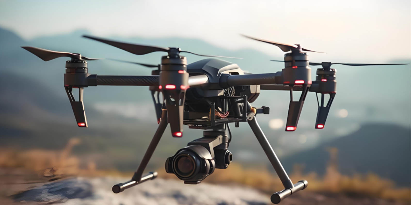
A LiDAR drone is an unmanned aerial vehicle (UAV) equipped with a LiDAR sensor (Light Detection and Ranging). LiDAR technology works by emitting laser pulses and measuring the time it takes for them to return after hitting an object, allowing the drone to create highly accurate 3D point cloud data.
LiDAR drones are commonly used in applications such as terrain mapping, forest management, agricultural monitoring, archaeological surveys, and urban modeling. Their main advantage is the ability to collect precise surface data in various weather conditions, particularly in hard-to-reach areas, making them highly efficient for tasks that would be challenging with traditional methods.
With the rapid advancement of drone technology, LiDAR drones (Light Detection and Ranging) have become essential tools in geographic information systems (GIS), environmental monitoring, agriculture, construction, and urban planning. LiDAR drones combine the advantages of laser radar technology and drone flight platforms to provide high-precision terrain mapping and spatial data collection.
However, as the demand for even higher accuracy increases, the need to improve LiDAR drones' precision and data analysis capabilities in complex environments becomes essential. The introduction of Time-of-Flight (ToF) technology has brought a revolutionary enhancement to the performance of LiDAR drones.
1. LiDAR Drones: Core Tools for Precision Mapping and Spatial Awareness
LiDAR drones use laser beams to scan the ground or object surfaces, precisely measuring the distance to each point, thus generating high-precision 3D point cloud data. Compared to traditional methods, LiDAR drones capture large-scale geographical data with higher efficiency and precision. These systems are widely used in map creation, forest surveys, building inspections, mining exploration, and more, offering unparalleled spatial information.
While LiDAR technology can provide precise 2D data, it still faces limitations in certain complex environments, such as densely urbanized areas or vegetation-covered regions. ToF technology can enhance the performance of LiDAR drones, offering more accurate 3D spatial data for a broader range of applications.
2. Time-of-Flight (ToF) Technology: Enhancing Depth Perception and Measurement Accuracy
Time-of-Flight (ToF) technology is a technique that calculates the distance between an object and the sensor by measuring the time it takes for light to travel from the sensor to the object and back. While traditional LiDAR systems already provide depth data, ToF technology further improves depth measurement precision and speed. Especially in complex environments, ToF sensors provide accurate depth data, allowing LiDAR drones to quickly and precisely detect objects' distances, shapes, and positions.
The integration of ToF technology not only enhances LiDAR drones' ability to capture 2D data but also adds precise 3D spatial data. By combining LiDAR with ToF depth-sensing technology, LiDAR drones can generate more accurate 3D point cloud data during real-time flight, supporting more comprehensive data analysis and application.
3. The Synergy of LiDAR Drones and ToF Technology: A New Era of Spatial Awareness
-
Precise 3D Modeling
In terrain mapping and building modeling, LiDAR drones integrated with ToF technology offer high-precision 3D reconstruction. Traditional LiDAR mapping captures 2D data, but when dealing with complex terrains like mountains, valleys, or urban environments, it struggles to represent full 3D structures. ToF technology allows LiDAR drones to capture depth data accurately, generating complete 3D models, helping planners, engineers, and researchers analyze and make better decisions. -
Improved Accuracy in Complex Environments
In urban or forested areas, traditional LiDAR systems may face measurement errors due to occlusions, reflections, or varying light conditions. ToF technology significantly improves LiDAR drones' performance by providing more accurate depth measurements and rapid data collection, especially in tasks like tree canopy scanning or building façade inspection. ToF enhances spatial awareness in these environments, reducing data errors and ensuring higher precision. -
Real-Time Dynamic Monitoring
LiDAR drones equipped with ToF technology can perform real-time dynamic monitoring. In disaster monitoring, environmental assessments, and other applications, the integration of ToF allows LiDAR drones to capture changes in the landscape quickly, generating dynamic 3D models that aid timely response. This capability is especially useful for emergency situations such as forest fires or post-earthquake damage assessments. -
Enhanced Data Analysis and Decision Support
The combination of LiDAR and ToF technology enhances data collection precision and generates more detailed 3D data sets. In sectors like construction, engineering, or urban planning, the combined data provides multi-dimensional information for further analysis. Point cloud data from LiDAR and depth data from ToF can complement each other, enabling more comprehensive analysis for better predictions, risk assessments, and resource optimization.
4. Applications of LiDAR Drones with ToF Technology
-
Urban Planning and Smart City Development
In urban planning and smart city construction, LiDAR drones integrated with ToF technology provide detailed 3D maps of cities, helping urban planners analyze infrastructure, traffic flow, and building layouts. This is crucial for optimizing urban design and infrastructure development. -
Agriculture and Forest Monitoring
LiDAR drones equipped with ToF technology have enormous potential in agriculture and forest monitoring. With precise 3D point cloud data, agricultural experts and environmental researchers can analyze soil conditions, crop growth, and forest resource distribution, driving precision agriculture and sustainable forestry management. -
Disaster Emergency Response
After natural disasters, LiDAR drones with ToF technology help quickly assess terrain changes and damage, providing crucial data for disaster recovery and emergency rescue operations.
5. Future Outlook
With continuous advancements in ToF technology and the growing application of LiDAR drones, the integration of these technologies will play an increasingly important role in mapping, urban planning, environmental monitoring, and more. ToF technology not only improves the precision and efficiency of LiDAR drones but also provides more accurate data support for various industries, pushing the adoption of automation and intelligent technology.
Conclusion
The combination of LiDAR drones and Time-of-Flight (ToF) technology provides a cutting-edge solution for precision mapping and spatial awareness. By enhancing depth perception and 3D data collection, LiDAR drones can achieve more accurate measurements and modeling in complex environments, driving innovation across industries. As this technology continues to evolve, LiDAR drones combined with ToF technology will become indispensable tools in scientific research, urban development, environmental monitoring, and disaster management.
Synexens 3D Of RGBD ToF Depth Sensor_CS30
Our professional technical team specializing in 3D camera ranging is ready to assist you at any time. Whether you encounter any issues with your TOF camera after purchase or need clarification on TOF technology, feel free to contact us anytime. We are committed to providing high-quality technical after-sales service and user experience, ensuring your peace of mind in both shopping and using our products
-
Publié dans
CS30


