

TOF Technology in Disaster Surveying: Distance Sensors & Depth Cameras
- Posted by TofSensor
Disaster surveying plays a crucial role in emergency response and post-disaster recovery. As technology continues to evolve, traditional disaster surveying methods have exposed several limitations, especially when dealing with complex disaster environments and difficult rescue operations. TOF (Time-of-Flight) technology, known for its high precision and real-time capabilities, holds significant potential for disaster surveying. By integrating distance sensors and depth cameras, TOF technology can assist drones and other surveying equipment in rapidly and accurately capturing 3D spatial data of disaster sites, providing decision-making support and greatly enhancing the efficiency and accuracy of disaster surveying.
What is TOF Technology?
TOF technology is a distance measurement technique based on the time it takes for a light signal to travel to an object and return. By emitting light pulses and measuring the time it takes for the pulses to return, TOF sensors can precisely calculate the distance to an object. Due to its high accuracy, real-time feedback, and ability to work in various environments, TOF technology is widely used in fields such as autonomous driving, drones, and robotics, particularly in complex disaster surveying scenarios.
What is a Depth Camera?
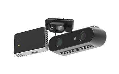
A depth camera is a device designed to capture the distance between the camera and objects in its view. Unlike conventional cameras that only capture 2D images, depth cameras generate 3D data, providing a depth map or point cloud, where each pixel represents a distance measurement. Depth cameras use technologies such as TOF, stereo vision, or structured light to gather this depth information.

Key Roles of TOF Technology in Disaster Surveying
-
Precise Distance Measurement to Improve Disaster Assessment
In post-disaster surveying, distance sensors (such as TOF sensors) can efficiently and accurately measure the damage to buildings, roads, bridges, and other infrastructure. These sensors can provide precise spatial data, especially in environments with poor visibility or limited sightlines. For example, in flood, earthquake, or landslide disaster zones, distance sensors can accurately measure the damage caused by collapsed buildings and road subsidence, providing essential data for post-disaster assessments. -
Acquiring Depth Information to Rebuild 3D Maps of Disaster Zones
When combined with depth cameras, TOF technology can be used to create 3D models of disaster scenes. Depth cameras measure the distance of various points in the scene, generating precise 3D point cloud data. This is crucial for post-disaster recovery, as it helps surveyors quickly understand changes in terrain, building damage, and other potential hazards. These data not only assist rescue teams in planning their routes but also provide valuable references for rebuilding efforts. -
Fast and Efficient Performance in Complex Environments
Post-disaster environments are often filled with complex obstacles and unpredictable dangers, such as collapsed buildings, damaged roads, and hazardous chemical spills. Traditional surveying methods are often limited by these environmental challenges and can be inefficient. In contrast, drones or robots equipped with TOF sensors can quickly navigate through these complex environments to conduct efficient surveys. TOF sensors do not rely on strong lighting or clear visual conditions and can work stably in low-light, foggy, or dusty conditions. -
Automated Surveying to Reduce Human Risk
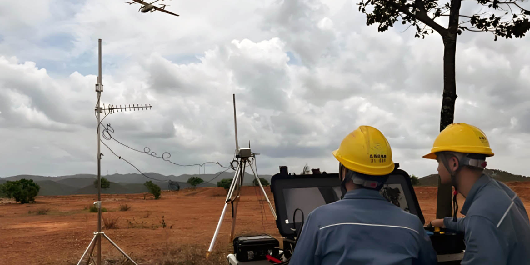
By integrating with automated platforms like drones and robots, TOF technology enables fully automated disaster surveying. Drones equipped with TOF sensors and depth cameras can autonomously fly and collect large amounts of 3D data, significantly reducing the workload for human surveyors. This not only speeds up the surveying process but also keeps survey personnel away from dangerous areas, ensuring their safety. Drones can also perform multiple flights to continually update data, providing real-time information for post-disaster recovery.

Practical Applications of TOF Technology in Disaster Surveying
-
Post-Earthquake Building Evaluation
After an earthquake, the extent of building damage directly impacts recovery efforts. TOF sensors can accurately measure damage such as wall cracks, displacements of support structures, and overall stability. By combining depth cameras with TOF technology, a 3D reconstruction model of the buildings can be created, showing detailed post-disaster conditions. This allows surveyors to remotely monitor structural changes and assess potential collapse risks, helping to prioritize rescue operations. These 3D data also aid in evaluating the repairability of buildings, optimizing resource allocation, and accelerating recovery processes. -
Flood-Damaged Road and Bridge Inspection
The safety of roads and bridges is critical in the aftermath of a flood, as they serve as essential routes for the transportation of people and supplies. TOF technology plays a key role in measuring road subsidence and the damage to bridge supports. Depth cameras can generate 3D images of both above-water and underwater structures, helping surveyors quickly identify potential hazards like cracks in bridges or sunken road surfaces. This technology assists in identifying dangerous areas even in poor weather and low visibility, making surveying safer and more efficient. -
Landslide Terrain Change Monitoring
After a landslide, the rapid changes in terrain pose hidden risks that require precise assessment. TOF technology, providing high-accuracy depth information, can continuously monitor the changes in terrain, helping to assess the stability of affected areas. For example, TOF sensors can accurately measure ground displacement in landslide zones, helping surveyors identify potential secondary landslide risks. When combined with depth cameras, TOF sensors can generate a 3D model of the affected region, providing detailed data on terrain changes, such as rock fractures and displacement of landslide debris. This data supports post-disaster rebuilding and environmental recovery, and can also serve as a basis for future monitoring systems to predict and prevent further disasters.
Conclusion
TOF technology, when combined with distance sensors and depth cameras, provides a new solution for disaster surveying. It improves both the accuracy and efficiency of post-disaster assessments and enables data collection in complex environments. As TOF technology continues to mature, it will play an increasingly important role in disaster response, emergency rescue, and post-disaster reconstruction. With this technology, disaster surveying will become more intelligent and automated, better supporting recovery and rebuilding efforts.
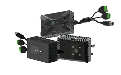
Synexens Industrial Outdoor 4m TOF Sensor Depth 3D Camera Rangefinder_CS40p

After-sales Support:
Our professional technical team specializing in 3D camera ranging is ready to assist you at any time. Whether you encounter any issues with your TOF camera after purchase or need clarification on TOF technology, feel free to contact us anytime. We are committed to providing high-quality technical after-sales service and user experience, ensuring your peace of mind in both shopping and using our products.
-
Posted in
CS40P